Explore The World with

DRONE-X

DRB-HICOM University of Automotive (DHU)’s Flagship Drone Centre of Excellent Certified drone training, aviation certification, and applied drone services powered by DHU, delivered in partnership with Drone Academy Asia (DAA).
About Drone-X

Drone-X is a flagship Drone Centre of Excellence based at DRB-HICOM University of Automotive Malaysia (DHU) Pekan, Pahang, offering programmes, training, certification, and drone services under an industry-driven partnership model. Positioned on Malaysia’s East Coast, Drone-X brings certified industry-recognised drone training closer to home.

Vision & Mission

Vision

To be the East Coast’s leading Centre of Excellence for drone training, certification, and applied
drone services, bridging academia and industry through practical, future-ready aviation skills

Mission

To equip students, professionals, and industry players with certified, hands-on drone skills that
meet national aviation standards and real-world industry demand

Why Choose Drone-X Training Programme

Trainer

Certified trainers delivering hands-on, industry-standard instruction

East Coast

East Coast-based, accessible certification without traveling to KL/Klang Valley

University

University-backed credibility through DRB-HICOM University

Drone Models

• DJI Matrice 4 Enterprise

• DJI Mavic 3 Enterprise

Drone-X Programmes
Remote Pilot Certificate of Competency: Extended Visual Line of Sight (EVLOS)

COURSE OVERVIEW
Under the Civil Aviation Directive 6011 Part (I), which it highlights the means of compliance with drone operational standards, drone operators are required to have the Remote Pilot Certificate of Competency-Basic and EVLOS certificate to carry out EVLOS operations. This comprehensive 2-day course includes comprehensive theory and practical outdoor flight training to equip participants with the necessary skills, techniques and knowledge required to conduct EVLOS operations in a safe and effective manner. With the certificate, drone operators can graduate to Extended Visual Line of Sight (EVLOS) operations primarily involving an unmanned aircraft being flown beyond VLOS but using visual observers to avoid collisions.

Remote Pilot Certificate of Competency: Agriculture UAS Operations (AGR)

COURSE OVERVIEW
The development of Agricultural Drone (Unmanned Aircraft Systems – UAS) Technology has contributed to Smart Farming to increase crop output while optimising the human labour required for production. Through Drone Applications such as Mapping and Surveying to Agriculture Spraying, Drones have helped farmers and planters manage crops to ensure the efficiency of inputs such as water and fertiliser and maximise productivity, quality, and yield. Drones have also helped in minimising pests and diseases. This comprehensive course includes in-depth modules to ensure drone operators practice standard operating procedures during agriculture operations and understand the regulations they must adhere to regarding pesticide handling and dispensation. Under the Civil Aviation Directive 6011 Part (II) – Unmanned Aircraft System Agricultural UAS Operations, which highlights the safety requirements of airworthiness and operational standards, drone operators must have the Remote Pilot Certificate of Competency-Basic and Agriculture UAS Operations Certificate if the dispensation of Agricultural Payload is involved.

Remote Pilot Certificate of Competency Basic (RCOC-B)

COURSE OVERVIEW
To fly drones under the Malaysia Civil Aviation Regulations 2016 (Regulation 140-144), drone operators/remote pilots must obtain a Remote Pilot Certificate of Competency-Basic (RCoC-B) to conduct Visual Line of Sight (VLOS) operations within the Specific Category. This certificate demonstrates that remote pilots understand the regulations, operating requirements, and procedures for safe flying of drones. This comprehensive course includes in-depth modules to develop a remote pilot’s awareness of their responsibilities in using the Malaysian Airspace. Trainees will also need to complete a standardised theoretical exam with a passing mark of 75% and a stringent practical in-field assessment for preflight, in-flight and post-flight evaluation to be awarded this prestigious Certificate of Competency.

Aerial Mapping and Surveying Course

COURSE OVERVIEW
Drone technology is changing the way surveying and mapping jobs are done today. Drone mapping specialisation is generating immense value for companies across industries. In the coming years, we expect larger construction, agriculture, mining, and surveying companies to invest heavily in these services. High-quality maps can be produced more quickly and cheaply than traditional methods, and the demand for drone mapping services proliferates. This 2 Days Intensive Aerial Mapping & Surveying Training Course is designed to teach you how to use current drone mapping technology to collect, analyse and export high-quality mapping data for commercial use. The course is most suited for participants who already have beginner-level drone operation skillsets.

Aerial Photography & Videography

COURSE OVERVIEW
Controlling an Unmanned Aircraft System (UAS) or Drone while simultaneously working the camera takes essential know-how and practised skills. Aerial Photography and Videography offer a unique perspective and are commonly used in many industries. This course helps build the confidence you need to capture Aerial Photography and Videography. You will also learn essential knowledge for a safe flight with stringent operational procedures. Whether you want to capture aerial images for creative purposes or use your skills in monitoring infrastructure conditions, this course is most suited for beginners looking to start using drones for work.

Precise Aerial Mapping Advanced Course

COURSE OVERVIEW
Some aerial mapping models might be acceptable with meter-level accuracy, but in many other projects, survey-grade accuracy is required. The degree of accuracy of a drone survey depends on a variety of technicalities, including the Photogrammetric Process and Location Data Correction: Real Time Kinematic (RTK), Post Processed Kinematic (PPK) and Known Points (KPs): Ground Control Points (GCPs) and Check Points (CPs). This course details all the steps involved in strategising, capturing and processing drone survey data for high location data accuracy. It is most suited for advanced drone operators with skillsets and experience in Aerial Mapping using Drones.

Benefits of Joining Drone-X

•Industry-recognised certification (RCoC and related credentials)
•Training led by certified instructors
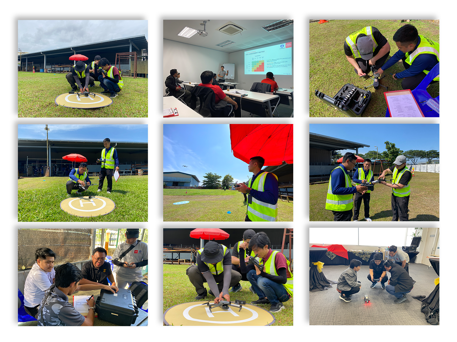
•Hands-on, practical flight and mapping experience, not just theory
•Career pathways into surveying, agriculture, media/videography, and mapping industries
•Locally accessible, East Coast-based training
•Credibility of a university-backed programme

Drone-X Objectives

• Deliver certified drone training programmes aligned with national aviation requirements
• Build a pipeline of skilled drone operators for surveying, mapping, agriculture, and media
industries
• Strengthen DHU’s role as an industry-linked training institution in the region
• Support East Coast economic development through accessible, locally-based certification

Get to Know Our Trainer

Training Photos Drone-X